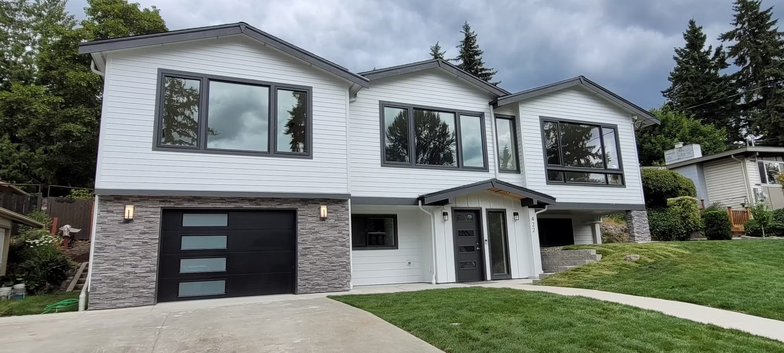
Short answer: before a reviewer can read your remodel, the permit set has to show the house and lot as they are today next to what you propose. Designers call that set existing conditions drawings, or as built drawings of the existing house. A licensed land survey is a separate document, and “do I need a survey for a remodel” has a different answer in Seattle, Bellevue, Kirkland, Mercer Island, Redmond and Sammamish. Each answer comes from the city’s own published checklist, tip sheet or form, read on October 30, 2026.
Key takeaways
- Every city I read wants the existing house and lot drawn beside the proposal. Seattle’s site plan shows what currently exists and what you want to change, and Sammamish’s remodel checklist says to show as-is and proposed.
- A survey is not automatic. Seattle ties a topographic survey to height, steep slopes and nonconformities; Bellevue lists a boundary and topographic survey among the minimum documents for an addition; Kirkland and Mercer Island decide case by case.
- The existing house decides code triggers: where the load goes, how much you alter, how high a roof may rise.
- Washington does not require an architect to design a house of up to four dwelling units (RCW 18.08.410(5)). Who measures the house, and who pays, belongs in writing before you sign with anyone.
Who this is for: an owner planning a remodel of $750,000 or more in Seattle or on the Eastside. Piper Cole designs and administers construction and does not build. Numbers move, so confirm with your city.
As built, existing conditions and measured drawings: what the words mean
City checklists use these terms inconsistently. This is how I use them.
| Term | What it means | Who makes it |
|---|---|---|
| Existing conditions drawings | Floor plans, elevations, sections and a site plan of the house and lot as they stand today, made before design starts. The permit set repeats them as the existing half of an existing and proposed pair. | Whoever measures the house. Ask each architect who that is. |
| As built drawings | The older name for the same thing. The National Park Service treats its measured drawings as as-built drawings of the existing condition, additions and alterations included (HABS guidelines, December 2008). A builder’s contract may use “as built” or “record drawings” for the marked-up set of changes made during construction, which is a different document. Read the contract’s definition. | For a house, whoever measures it. For a contract, the builder. |
| Measured drawings | Drawn from direct measurement and not from old plans. | Architect, drafter or measuring service. |
| Existing conditions survey | A land survey of the lot: boundaries, easements, structures, utilities and ground elevations. State law includes surveying land for topography in the practice of land surveying (RCW 18.43.020(7)). | A Washington licensed land surveyor. |
The survey fixes the lot: lines, corners, ground elevations. The drawings fix the house: rooms, walls, openings, visible framing, roof and foundation.
What each city’s checklist asks you to show about the existing house
These are the documents I read, with the date each prints. They do not replace the code, and a planner can ask for more.
| City | What its document says about the existing house and lot | Document |
|---|---|---|
| Seattle | A site plan shows what currently exists and what you wish to change; small additions and alterations need a basic site plan with existing structures and their distances to the lot lines. An alteration set needs floor plans that mark walls existing, new or removed, a foundation plan with the load tracing to the ground when structure changes, and details of how new work joins the old. Adding an ADU requires floor plans of the existing house, all levels. | Tip 103 (Aug 20, 2025), Tip 303 (Jul 28, 2022), Tip 101 (Jun 30, 2026) |
| Bellevue | A site plan shows what is existing and what is proposed, with contours of both at 2-foot intervals. An addition’s minimum documents include an architectural plan, a residential site plan, a boundary and topographic survey and a Value of Improvements form. A structural remodel inside the house with no added area lists only the architectural plan as required, and a structural plan as additional. | Site plan, addition, remodel |
| Kirkland | Architectural drawings, and a site plan that may not be required when the work stays within the existing footprint. The site plan guide asks for existing topography at 2-foot contours, existing ground elevations at wall midpoints, floor area by structure and floor for existing and proposed, and demolished structures labeled. The checklist is undated. | Checklist, Site plan guide |
| Mercer Island | For the city’s small addition and remodel category (under 500 square feet of new footprint and of new impervious surface, no critical area alteration), the required documents include a site plan, a topographic survey (see the chart below), foundation, floor and framing plans, sections, elevations and a tree plan. | City page |
| Redmond | The packet says a site plan is required with all submittals, yet its table lists a vicinity map in place of a site plan for a remodel with no added square footage, so ask Redmond which it wants. The guide asks for finished floor elevations of existing structures, footprints of existing and proposed structures and existing contours or spot elevations. | Packet (09/2026), guide (06/2025) |
| Sammamish | The remodel checklist asks for a plan set that shows as-is and proposed. The addition checklist requires a site plan and a critical area affidavit. Neither mentions a survey. | Remodel (form 2026-01-RMDL), addition (form 2025-02-ADDN) |
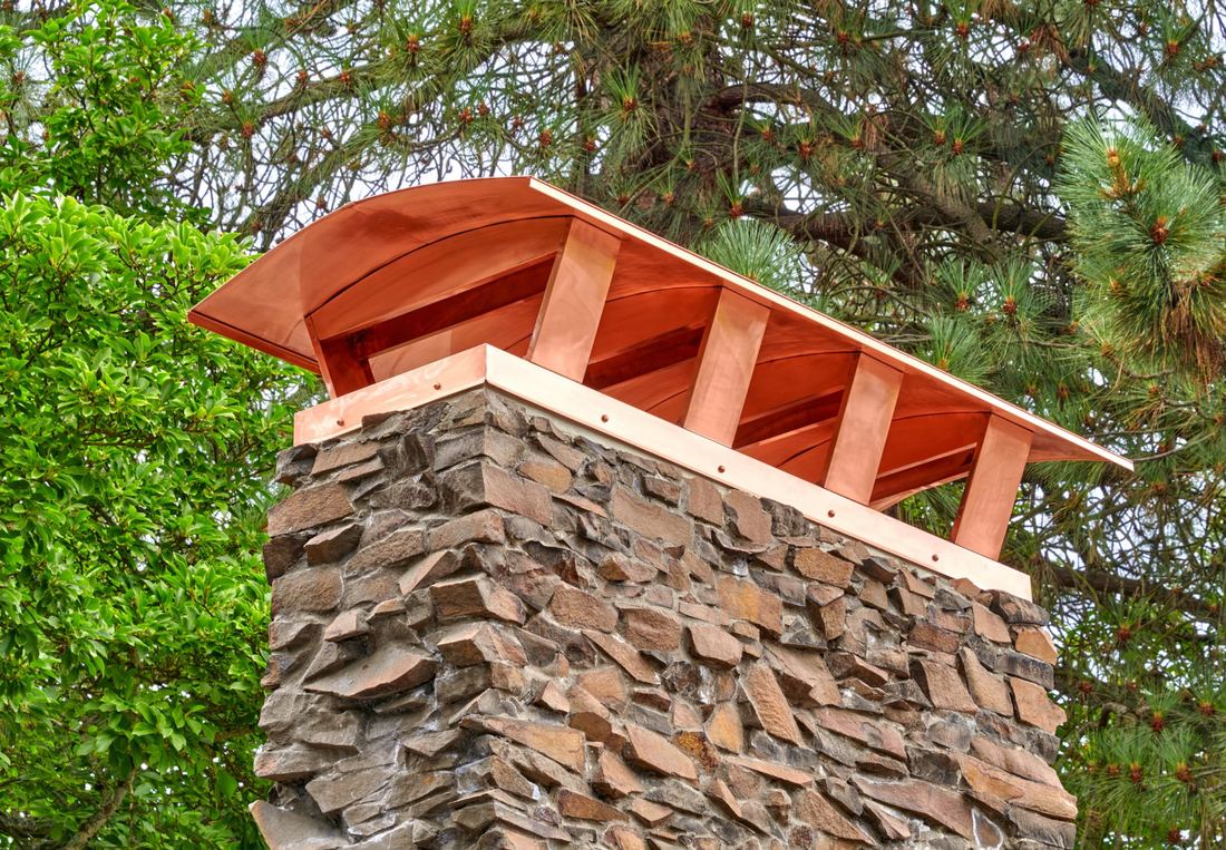
Seattle’s alteration list also asks for a masonry chimney section detail where one applies.
Free feasibility check
Planning a custom home or a remodel of $750,000 or more?
Send me the address and a few lines about what you want. The first feasibility check is free and usually takes about a day.
Do I need a survey for a remodel?
Sometimes. Seattle’s Tip 103 lists hiring a licensed surveyor as one way to establish boundaries, so a survey is a tool as well as a requirement. Here is where each city says one applies.
| City | When the document points to a survey | Document |
|---|---|---|
| Seattle | A topographic survey with corner stakes and all property lines when the building is within 2 feet of the maximum height, when an environmentally critical area needs grading plans, or on a steep slope, potential landslide or known landslide site. On steep slope and similar sites, Tip 101 says you do not need a topographic survey or geotechnical report if all work is interior with no foundation change and exterior work is limited to window, siding and roofing replacement. The addition and alteration checklist marks existing nonconformities as survey required. | Tip 303, Tip 101, checklist |
| Bellevue | A boundary and topographic survey is a minimum document for an addition, with a waiver form for a document that does not apply. It must come from a registered Professional Land Surveyor, be under 5 years old at submittal, tie to two city monuments, and show structures located from the property lines, utilities and 2-foot contours where slopes are under 40 percent. | Survey standard, addition |
| Kirkland | The checklist sends you to the city’s Survey Policy and says a required survey must be stamped and signed by the surveyor. Projects that add height need a height form, and within one foot of the limit a licensed surveyor’s letter on floor and roof elevations is required during construction. I did not find the Survey Policy text, so ask the city. | Checklist, Height form |
| Mercer Island | Boundary and topographic information is always required, but a licensed survey may not be. The chart (January 2021) points to a topographic survey on Lake Washington or critical area sites or within 2 feet of the height limit, and to a survey of only the nearby lines for work within 2 feet of a yard line. Its first question is whether you add more than 120 square feet of coverage, hardscape or floor area. | Do I need a survey? |
| Redmond, Sammamish | I found no survey rule in the Redmond or Sammamish documents. Redmond asks for existing contours or spot elevations on the site plan. Ask before you assume. | Documents above |
A survey locates the lot corners every setback is measured from and gives the ground elevations that height rules average. If your plan nears a yard line or the height limit, it tells you how close.
Why the existing house decides the structure and the code triggers
Structure. For its quick field-inspection permits SDCI asks for existing framing facts: direction and size of the framing, span, spacing, and the location and size of openings (Tip 316, updated October 29, 2026). A full alteration set needs the load tracing to the ground when you change the structure. Those facts come from the attic, the crawl space and sometimes a ceiling opened up. See when a remodel needs a structural engineer.
How much you alter. Tip 316 says reconfiguring spaces or replacing wall surfaces in more than 60 percent of the existing house likely makes the work a substantial alteration, and it asks you to label which rooms get new drywall or plaster. You cannot label what you have not drawn. Other cities count wall length, value or which walls and roofs you touch (each test is here). All start from the existing house.
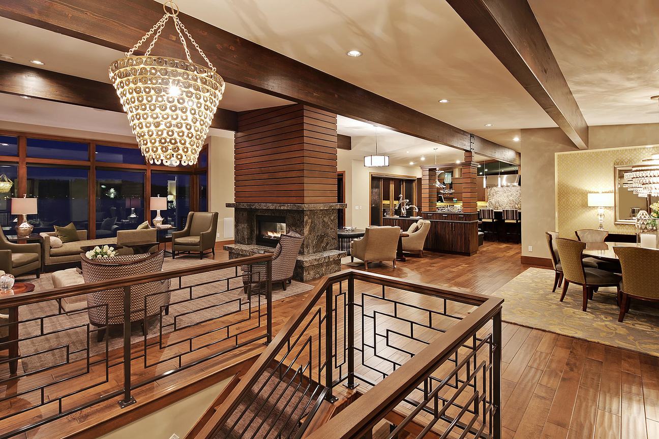
For the budget side see planning a million dollar remodel.
Worked example: height from average existing grade in Bellevue
Bellevue measures a house’s height from the average elevation of the existing grade around it. The city’s method: draw the footprint with existing 2-foot contours, put a point every 10 feet around it, read the ground elevation as it exists today at each point, add them and divide by the count (building height page). For the LL-1 through LDR-1 districts the chart in Ordinance 6851 allows 30 feet to a flat roof or 35 feet to the ridge of a pitched roof, and caps any one facade of a new house or addition at 40 feet from existing grade at its base. Take a 40 by 30 foot footprint on a lot that rises 1 foot per 10 feet from west to east. The elevations are assumed.
| Wall | Spot elevations every 10 feet (feet, NAVD 88) | Points | Sum |
|---|---|---|---|
| South, 40 ft | 100.0, 101.0, 102.0, 103.0 | 4 | 406.0 |
| East, 30 ft | 104.0, 104.0, 104.0 | 3 | 312.0 |
| North, 40 ft | 104.0, 103.0, 102.0, 101.0 | 4 | 410.0 |
| West, 30 ft | 100.0, 100.0, 100.0 | 3 | 300.0 |
| Total | Perimeter 140 ft, one point per 10 ft | 14 | 1,428.0 |
Average existing grade = 1,428.0 / 14 = 102.0. A pitched roof may not rise above 102.0 + 35 = 137.0, and a flat roof above 102.0 + 30 = 132.0. Put the ridge of an addition at elevation 136.5 and it is 137.0 to 136.5 = 0.5 foot under. The facade test is separate: the west wall starts at grade 100.0, so the ridge stands 136.5 to 100.0 = 36.5 feet above it, under 40. If someone had estimated the average at 101.0, the limit would read 101.0 + 35 = 136.0 and the same plan would sit 0.5 foot over. A one foot error in the average moves the limit one foot, which is why Seattle, Mercer Island and Kirkland ask for survey grade numbers when a plan sits within 1 or 2 feet of the limit. I read the chart in the copy of the ordinance in the City Council packet. The city’s middle housing page says Council adopted its ordinances on June 24, 2025, and a 2026 city staff report applies the 35 foot pitched roof limit from average existing grade in an SR-2 district and says height may be verified by survey at permit. The city’s code site was behind a bot check, so I did not read the code text there. Confirm the current Land Use Code with the city. More numbers are in my Bellevue zoning guide.
Old plans, who measures and the order of work
Start with the records. Seattle’s permit research page says permits from about 1894 to 1970 and microfiche permits from 1970 to 2004 have been scanned and can be reached from its Permit and Property Records page, and it emails approved plans on a written request with the permit number and project address. The same page shows some uploads, including single-family construction plans, still in progress as of summer 2025, so ask the microfilm library what exists for your address (SDCI). Other cities keep their own records. Approved plans show what the city approved then, not later unpermitted work or field changes, so they are a starting point.
Who measures. Washington does not require an architect to design a house (RCW 18.08.410(5)), so an architect, designer, drafter or measuring service can prepare the existing set. Kirkland’s checklist asks for a stamp on sheets prepared by a Washington licensed design professional. Ask every architect on your list, including me, who measures your house, who orders and pays for the survey, and where that cost sits against the fee. I quote a fixed fee for design and permit, about $10,000 to $200,000 by project budget and location; ask me what it includes for your house. I give no price for surveys or measuring; get a written scope and price from each provider.
The order I would ask any architect to confirm, including me:
- Gather records: old plans, permit history, any survey.
- Survey where the city asks, from a licensed land surveyor.
- Measure the house: rooms, openings, ceiling heights, roof, and the framing and foundation you can see.
- Draw the existing set and check it against the survey.
- Design, then one permit set showing existing and proposed together.
- Permit, then construction. Piper Cole administers construction and does not build.
Design to permit submission typically takes me 2 to 4 months. Review times are the city’s, and the cities that publish them are in how long a whole house remodel takes. The existing set comes first, so ask each architect whether it falls inside their design to permit schedule. The phases after it are in schematic design vs design development.
What to send me for the free feasibility check
Send me the address and what you are considering. If you already have a survey, old plans or permit records, say so when you write. The first feasibility check is free and very quick, usually about a day. An in depth analysis is $1,500 and takes 2 to 3 weeks. My smallest project budget is $750,000. Only the city can approve a project. If you are weighing a house you do not own yet, my feasibility study page explains the check.
I have been an architect since 1996, an AIA member since 1992 and an NCARB member since 1996.
Before you design
Send me the address
Call or message me on WhatsApp. The first feasibility check is free and usually takes about a day, and the in depth analysis is $1,500 and takes 2 to 3 weeks.
Questions
What are as built drawings of a house?
As built drawings of an existing house are plans, elevations and sections that show the house as it actually stands today, including additions and alterations made since it was first built. Designers also call them existing conditions drawings or measured drawings. A construction contract may use the same words for the set that records changes made during the work, which is a different document. For a remodel permit the cities I read ask for the existing house and the proposal together on the plans.
What is the difference between as built drawings, existing conditions drawings and measured drawings?
In practice they overlap. Existing conditions drawings are the set made before design to record the house and lot today. As built drawings is the older term for the same thing, and the National Park Service treats its measured drawings as as-built drawings of the existing condition. Measured drawings means drawn from field measurement and not from old plans. Record drawings, on a contract, refers to the set that records changes made during construction; read the contract’s definition.
Do I need as built drawings to get a remodel permit?
Your plans have to show the existing house next to the proposed work, and each city words that differently. Seattle’s site plan shows what currently exists and what you want to change, Bellevue’s shows what is existing and proposed, and Sammamish’s remodel checklist says to show as-is and proposed. None of them calls for a separate as built set by that name. Confirm the current checklist with your city.
Do I need a survey for a remodel?
Sometimes. Seattle asks for a topographic survey when the building is within 2 feet of the maximum height, on steep slope or landslide sites and where an environmentally critical area needs grading plans. Bellevue lists a boundary and topographic survey among the minimum documents for an addition. Kirkland decides under a Survey Policy, and Mercer Island under a chart dated January 2021. I found no survey rule in the Redmond or Sammamish documents I read. Ask your city early.
What does an existing conditions survey include?
It depends on the city. Bellevue’s standard for a boundary and topographic survey calls for a registered Washington Professional Land Surveyor, the legal description, easements, existing structures located from the property lines, utilities above and below ground, edges of pavement, walls and rockeries, spot elevations, and critical areas where they exist. Contours are 2-foot intervals for the parts of the site with slopes under 40 percent. The survey must be under 5 years old when you submit. Other cities set their own lists.
Where can I find the original plans for my house?
Start with the city’s permit records. In Seattle, permits from about 1894 to 1970 and microfiche permits from 1970 to 2004 have been scanned and can be reached from the Permit and Property Records page, and approved plans are sent by email on a written request with the permit number and project address, though the city’s page shows some uploads still in progress as of summer 2025. Other Eastside cities keep their own records, so ask their permit centers. Old plans show what was approved, so treat them as a starting point and have the house measured.
Does an architect have to make the existing conditions drawings?
No. Washington does not require an architect to design a house (RCW 18.08.410(5)). A drafter, a designer, a measuring service or an architect can prepare them. Kirkland’s checklist asks for a stamp on sheets prepared by a Washington licensed design professional. Ask every architect you interview, including me, who measures the house and who orders the survey, and get the answer in writing.
How much do as built drawings or a survey cost?
I give no figure, because I have no confirmed number for either. Get a written scope and price from each surveyor or measuring provider. My own fee for design and permit is a fixed fee, set by the project budget and the location, about $10,000 to $200,000. Ask every architect, including me, whether measuring and the survey are inside the fee or paid separately.
How do I start if I am planning a remodel?
Send me the address and what you are considering. The first basic feasibility check is free and very quick, usually about a day. An in depth analysis is $1,500 and takes 2 to 3 weeks. Design to permit submission typically takes 2 to 4 months. Piper Cole designs and administers construction and does not build.