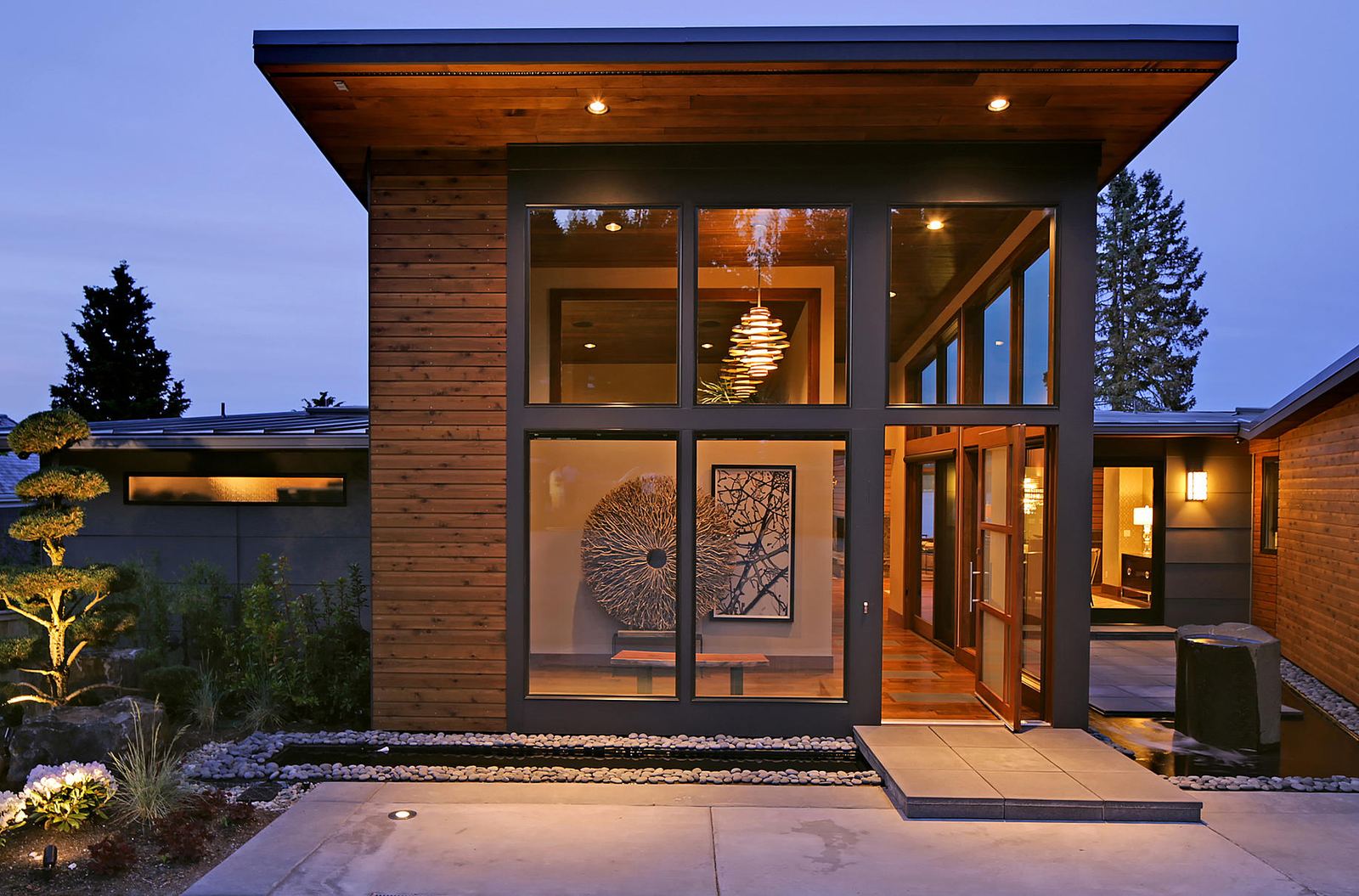
Whether you can build on a steep slope in Seattle starts with one test: does the city treat the slope as an environmentally critical area (ECA)? The Seattle Department of Construction and Inspections (SDCI) describes steep slopes as slopes that rise at least 10 feet over a horizontal distance of 25 feet or less, a grade of 10 / 25 = 40 percent or steeper. Development is not allowed in a steep slope area or its buffer, which SDCI says is typically 15 feet wide, unless the project fits one of four reliefs or wins a variance or exception. Before you hire anyone for a hillside home in Seattle, check the slope first. My first feasibility check is free and very quick, usually about a day, and an in depth analysis is $1,500 over 2 to 3 weeks. I am David Meade, an architect in Kirkland. I design the house and administer construction. I do not build.
Key takeaways
- SDCI describes a steep slope as a rise of at least 10 feet over 25 feet or less, a grade of 40 percent or steeper. Most of its maps are advisory, and SDCI confirms with detailed information such as a survey.
- Development in a steep slope area or its typical 15 foot buffer is prohibited unless it fits one of four reliefs or gets a variance or exception. Relief is not available on waterfront lots.
- On a steep slope site SDCI asks for a topographic survey and a geotechnical report by a Washington licensed civil engineer. Its Director’s Rule can bar winter excavation in landslide-prone areas.
- In one 2021 case SDCI said it does not enforce private view covenants and protects only the views the Land Use Code names, so ask before you count on a view.
This page is for an owner or buyer with a project budget of $750,000 or more. I read the documents cited here on 31 October 2026, but not Seattle’s critical areas chapter, SMC 25.09, which I could not open on the city’s code site. I am not an attorney, and SDCI warns that its Tips and Director’s Rules may lag current regulations. Seattle is rewriting its critical areas code, with adoption expected May to June 2027 and an anticipated July 2027 effective date (SDCI timeline). The rules below are the ones SDCI’s pages describe today.
Why a slope changes the whole feasibility question
On a slope the critical area rules come first, and a buffer can take buildable area before any yard is drawn. Three questions come before a floor plan: is part of the lot a critical area, what will the city ask you to prove, and what does a view have in law? For design ideas see sloped lot house design and the critical areas overview. This page is the rule check.
Request your free feasibility check
Send me the address or listing link, what you want to build or keep, any survey or geotechnical report you have, and the date your inspection period ends if you are buying. I will reply to you personally.
Prefer to talk? Call 425 753 6452 or message David on WhatsApp.
Free feasibility check
Planning a custom home or a remodel of $750,000 or more?
Send me the address and a few lines about what you want. The first feasibility check is free and usually takes about a day.
Can I build on a steep slope in Seattle? The city’s test
Seattle’s critical areas ordinance is SMC chapter 25.09. SDCI’s list of geologic hazards includes landslide-prone areas (potential and known landslide areas), steep slope erosion hazard areas, liquefaction-prone areas and peat settlement areas (ECA code page). A lot can be a critical area without being steep: SDCI’s checklist lists Steep Slope, Potential Slide and Known Landslide separately (checklist).
For the slope itself, SDCI says steep slopes rise at least 10 feet high over a horizontal distance of 25 feet or less (relief page). In 2018 an SDCI senior geotechnical engineer wrote that one site had no steep slope because it lacked at least 10 feet of elevation difference with slopes averaging 40 percent or steeper (Hearing Examiner file). The city’s maps are only a start: SDCI calls most of them advisory and uses detailed information, such as a topographic survey, to confirm a critical area (ECA code page).
Worked example. The lot is hypothetical: 60 feet wide and 110 feet deep, in Seattle, outside the shoreline district. Its survey uses 2-foot contours, the interval SDCI’s enhanced site plan list gives for sloping sites (Tip 103). Along the line the ground falls, the 100 foot and 110 foot contours are 22 feet apart.
| Step | Rule | Arithmetic | Result |
|---|---|---|---|
| Slope of the stretch | Steep: a rise of at least 10 feet over 25 feet or less | Rise 110 minus 100 = 10. Run 22. 10 / 22 = 0.4545 | 45.5 percent. Run is under 25, so it meets the description. |
| Same rise, longer run | Same test | 10 / 28 = 0.3571 | 35.7 percent. Run is over 25, so it does not. |
| The dividing line | 10 feet of rise over 25 feet | 10 / 25 = 0.40 | 40 percent. |
| Depth taken | SDCI: buffers typically 15 feet. Geotechnical rules call for buffer areas at the top or toe. | If 15 foot buffers apply at top and toe: 15 + 22 + 15 = 52. 110 minus 52 = 58 | 52 of the 110 feet, 58 left before any yard. |
Hypothetical lot. On a real lot the code, the geotechnical report and SDCI set the buffer. Height on a slope is a separate method; see my existing conditions guide. For yards and coverage see my lot coverage guide.
What the city does not allow, and how the rule bends
SDCI says you are not allowed to develop in steep slope areas or their buffers. It allows development there for four types of project (SDCI relief page):
- Work where legal structures or pavement already are, with no increase in impact. SDCI’s example is a same size replacement in the same place.
- A slope that legal grading created and that was not steep before, such as a road cut.
- An isolated steep slope under 20 feet high and at least 30 feet from other steep slope areas.
- The minimum work needed to stabilize an active landslide hazard.
Relief is not an exemption: critical area review still applies. It cannot be obtained on waterfront lots in the Shoreline District, where a shoreline variance is required (Tip 327A), and inside 200 feet of the shoreline the pre 2017 version of the chapter applies (ECA code page). My lakefront lot guide covers that side.
If the project fits none of the four, an ECA variance may allow development in a steep slope or its buffer, and an ECA exception may modify standards if they prevent any reasonable use of the property (SDCI permit page). For a steep slope variance the lot must have existed before 31 October 1992, and the Director may allow only the minimum, in this order: reduce yards and setbacks, reduce the buffer, allow an intrusion into the buffer, then an intrusion into not more than 30 percent of the steep slope area (Tip 330).
Buying a hillside house to replace. Tip 327A says the exemption for work that does not encroach on a critical area does not cover removing existing development and replacing it. The first relief type may still cover a same size replacement in the same place. See my teardown feasibility page.
What the city asks for: survey, geotechnical report and season
SDCI’s residential permit Tip requires a topographic survey on a steep slope, potential slide or known slide site, and a geotechnical report on those and on liquefaction, landfill or peat settlement sites (Tip 101, updated 30 June 2026). Neither is needed if all work is interior with no foundation change and the exterior work is only window, siding and roofing replacement. The ECA checklist also lists a site cross section and, for infiltration or dispersion above a steep slope, a slope stability analysis (checklist).
Director’s Rule 5-2016, which SDCI lists as Active, requires a geotechnical report in a landslide-prone area, or where the Director wants more soils analysis (Director’s Rule 5-2016). Its main points for landslide-prone areas:
- A Washington licensed civil engineer with at least four years of experience under a licensed civil engineer prepares, signs and stamps it.
- The engineer identifies buffer areas at the top or toe of the slope, and recommends the most naturally stable part of the site and the preferred location of the structure.
- In general no excavation is permitted in landslide-prone areas in the wet winter months. Excavation between 1 November and 31 March, including open temporary slopes, needs technical analysis the Director approves.
- The engineer monitors construction, and occupancy is not approved until the final report is accepted.
So the recommended building area comes before the floor plan, and it may not be the side with the view. The season and the monitoring also enter the construction schedule. A licensed geotechnical engineer and a licensed surveyor, separate professionals from me, produce the report and the survey. SDCI tries to finish a first review of a relief request within 2 weeks, and says a master use permit in a critical area takes several months (relief page, permit page).
Mercer Island and Bellevue: what their pages say
I read the city pages below on 31 October 2026, not the codes behind them.
| Item | Mercer Island | Bellevue |
|---|---|---|
| Steep slope | The city page lists landslide, steep slope, seismic and erosion hazards and points to a mapping tool searched by address. | Steep slopes greater than 40 percent are listed among the critical areas shown on the site plan with buffers. |
| Report | Required when a structure goes in a sensitive or critical area (landslide, steep slope, seismic or erosion hazards), by a Washington licensed geotechnical, geological or structural engineer, with a statement of risk. | May be required for plat approval, for rockeries and retaining walls, or as soil conditions dictate. |
| Season | No clearing, grading, filling or foundation work 1 October to 1 April on erosion, potential slide or steep slope hazard lots, including critical slopes and land 10 feet past their top and toe. A waiver needs compelling justification and a geotechnical evaluation. | Not on the page I read. Ask the city. |
| Lot coverage | Set by lot slope, below. | Figured on lot area with the square footage of critical areas and stream buffers subtracted. |
Mercer Island’s lot slope is the lowest elevation on the lot subtracted from the highest, divided by the shortest horizontal distance between those points (city zoning page). Coverage for buildings and driving surfaces then steps down: 40 percent under 15 percent slope, 35 from 15 to under 30, 30 from 30 to 50, and 20 over 50, with hardscape at 9 percent. Say a Mercer Island lot’s highest and lowest points differ by 10 feet over a 22 foot shortest distance: 10 / 22 = 45.5 percent, which falls in the 30 to 50 tier, so 30 percent coverage applies, not 40. In Bellevue, a hypothetical 10,000 square foot lot with 2,000 square feet of steep slope and buffer has coverage figured on 10,000 minus 2,000 = 8,000 square feet (city page). See also Mercer Island geological hazards and my Mercer Island and Bellevue guides.
View lots: what a rule protects and what it does not
In a 2021 Hearing Examiner file, SDCI wrote that it does not enforce private view covenants and protects only the views the Land Use Code expressly names, such as in commercial zones and the shoreline chapter (SDCI closing statement, 5 October 2021). That is one statement in one case, so ask SDCI. On shorelines of the state, no permit issues for a new or expanded building over 35 feet above average grade level that would obstruct the view of a substantial number of residences, unless the master program does not prohibit it and overriding public interest is served (RCW 90.58.320). I read no single family view rule on the Mercer Island or Bellevue pages above. A recorded view easement or covenant is a private agreement, so read the title report.
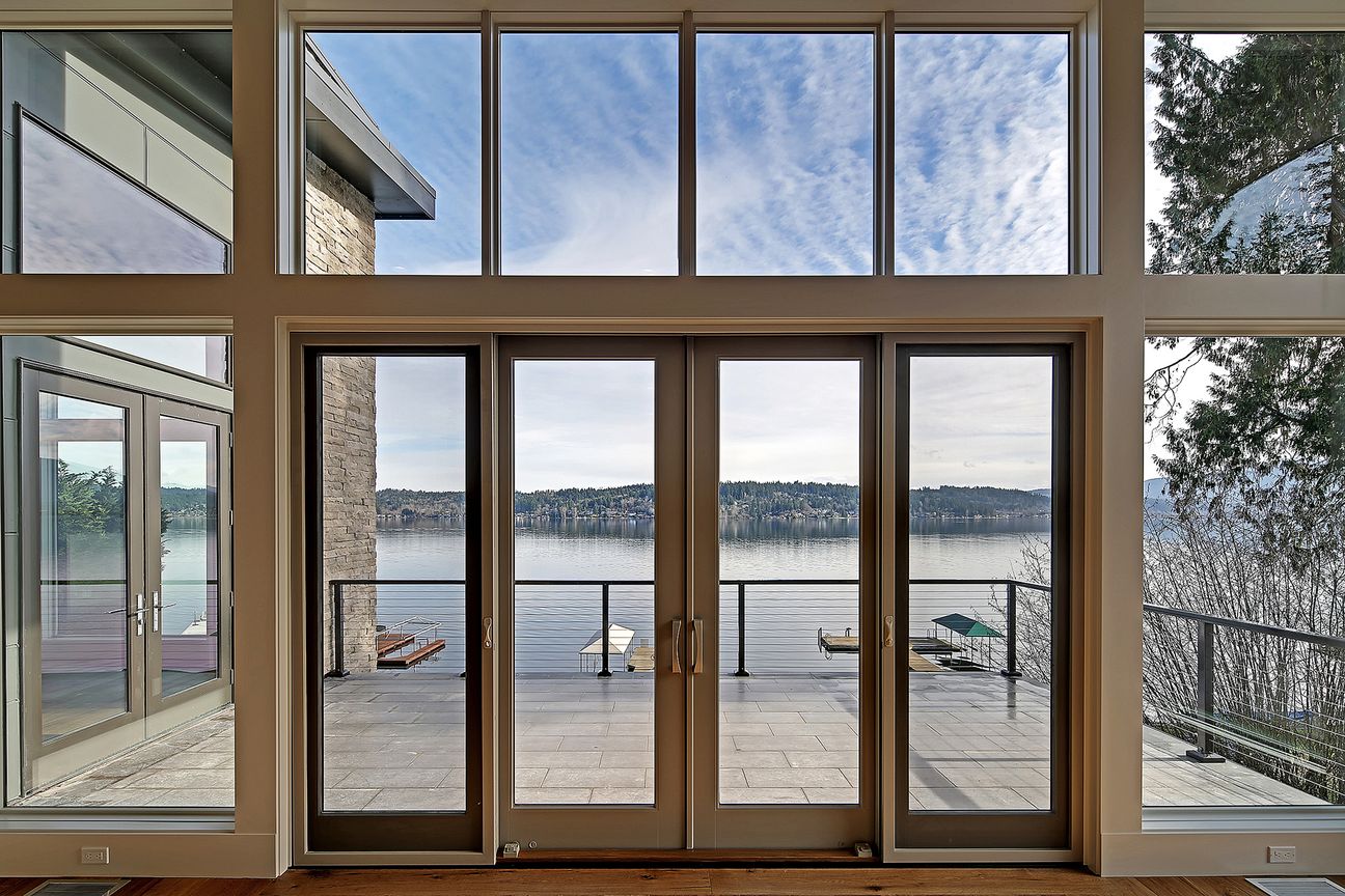
Opening the view is regulated too. In landslide-prone areas, including steep slopes, and in steep slope buffers, the code allows only four kinds of tree and vegetation work: normal maintenance, removal under an issued building or grading permit, restoration and hazard tree removal (Tip 331, updated 29 May 2025). Removing trees is not normal maintenance, and SDCI advises trimming rather than removing for a view (Tip 324, updated 2 July 2019).
What to ask before your inspection period ends
- The seller. The disclosure statement is due within five business days of mutual acceptance unless otherwise agreed (RCW 64.06.030), and you have three business days from delivery to rescind unless you agree otherwise in writing (RCW 64.06.020, form in force until 1 January 2027). It asks about settling or sliding (4.E), landslide damage (7.C), critical areas (7.D), drainage (7.A), fill (7.B) and permits for additions (4.C).
- Reports and permits. Ask for any geotechnical report, view covenants in the title report, and permits for retaining walls, drainage work and additions. SDCI offers a Permit and Site History Research Tool (permit page), and SDCI calls most of its ECA maps advisory.
- A surveyor. Ask for 2-foot contours that show any stretch rising 10 feet within 25, with the house, walls and drainage on one drawing.
- A geotechnical engineer. Ask about stability, the most stable building area and what the winter limit does to your schedule.
How the feasibility check works with me and what it costs
My free first check asks whether your project fits the lot and what could stop it first. Only the city decides whether a slope is a critical area.
| Step | Time or cost | What it is |
|---|---|---|
| Free first feasibility check | Free, usually about a day | You send the address, any survey or report, and what you want to build. |
| In depth analysis, optional | $1,500, 2 to 3 weeks | Goes further than the first check. |
| Design and permit | Fixed fee, about $10,000 to $200,000. Design to permit submission typically 2 to 4 months | Set by project budget and location, not a percentage. |
| Permit | Seattle: remodel about 2 to 3 months, new house 6 to 10 months | A critical area review adds its own steps. |
Planning figures from Piper Cole, not quotes. My smallest project is $750,000. I give no figure for what a slope adds to site work and foundations; the geotechnical report and a builder’s estimate are where it shows up.
I have been an architect since 1996, an AIA member since 1992 and an NCARB member since 1996, and the Carr residence was featured in Above The Lake and Lux magazines.
Before your inspection period ends
Get a free feasibility check on the hillside or view lot
Use the form above, or call or message me on WhatsApp. I will reply to you personally.
Questions
Can I build on a steep slope in Seattle?
Sometimes, but the city decides after a survey. SDCI says you are not allowed to develop in steep slope areas or their buffers, which are typically 15 feet wide, unless the project is one of four types: replacing legal structures or pavement in the same place with no added impact, building on a slope that legal grading created, building on an isolated steep slope under 20 feet high and at least 30 feet from other steep slopes, or stabilizing an active landslide hazard. Otherwise an ECA variance or exception is possible. A feasibility check reads the lot against those rules, and my first one is free and usually takes about a day. I design the house and administer construction. I do not build.
What does Seattle count as a steep slope?
SDCI’s relief page describes steep slopes as slopes that rise at least 10 feet high over a horizontal distance of 25 feet or less, a grade of 10 / 25 = 40 percent or steeper. A stretch that rises 10 feet over 22 feet is 45.5 percent and meets that description. Over 28 feet it is 35.7 percent and does not. SDCI calls most of its maps advisory and uses a topographic survey to confirm. The wording of SMC 25.09 is for your surveyor and SDCI, because I could not read the chapter on the city’s code site.
Does my hillside lot need a geotechnical report?
SDCI’s residential permit Tip says a geotechnical report is required on a site with a steep slope, potential slide, known slide, liquefaction, landfill or peat settlement area, with an exception when all work is interior with no foundation change and exterior work is limited to window, siding and roof replacement (Tip 101, updated 30 June 2026). Director’s Rule 5-2016 says the report must be prepared, signed and stamped by a Washington licensed civil engineer. A topographic survey is required on steep slope, potential slide or known slide sites.
Can I tear down a house on a steep slope and rebuild?
Possibly, and the existing footprint matters. Tip 327A says the exemption for work that does not encroach does not cover removing and replacing existing development. SDCI’s first relief type allows development where legal structures or pavement already sit, with no increase in impact on the slope, and its example is a same size building in the same place. Relief is not available on waterfront lots in the Shoreline District, where a shoreline variance is required. A larger or moved house may need a variance or exception. See my teardown feasibility page.
Does Seattle protect my view?
Not as a general right in a single family zone, as far as I read. In a 2021 Hearing Examiner file SDCI wrote that it does not enforce private view covenants and that the only views it protects are those expressly laid out in the Land Use Code. On shorelines of the state, RCW 90.58.320 limits permits for new or expanded buildings over 35 feet above average grade that would obstruct the view of a substantial number of residences, unless the master program does not prohibit it and overriding public interest is served. Read the title report for a recorded view covenant.
What should I check first for view lot home design in Seattle?
Start with the slope and the survey before the view. The geotechnical engineer must recommend the most naturally stable part of the site and the preferred structure location (Director’s Rule 5-2016), and that may not be the side facing the view. Then check height measurement for the lot, trees and vegetation rules on the slope (Tip 331), and what you can rely on from a view in law. My first feasibility check asks whether your project fits the lot and what could stop it first.
Do Mercer Island and Bellevue treat steep slopes the same way?
No. Mercer Island’s city page requires a geotechnical report when a structure goes in a critical or sensitive area and bars land clearing, grading, filling and foundation work from 1 October to 1 April on erosion, potential slide and steep slope hazard lots, with a waiver. Its lot coverage steps down with lot slope, from 40 percent under 15 percent slope to 20 percent over 50. Bellevue’s site plan page lists steep slopes greater than 40 percent as critical areas and figures lot coverage on lot area minus critical areas and buffers. I read the city pages, not the codes.
What does your feasibility check cost and how long does it take?
The first basic feasibility check is free and very quick, usually about a day. An in depth analysis is $1,500 and takes 2 to 3 weeks. If you then hire me, I quote one fixed fee for design and permit, about $10,000 to $200,000, set by the project budget and location. My smallest project is $750,000. Design to permit submission typically takes 2 to 4 months.