
Home / Resources / Lake Forest Park permits
Lake Forest Park permits
Lake Forest Park zoning and building permits: what you can build on your lot in 2026
Five single-family zones, a 30 foot height measured from the average ground, strict tree permits and a 50 foot setback from Lake Washington. Here is each rule, read from the city’s own documents, with arithmetic on a typical lot.
On this page
Key takeaways
- The five single-family zones allow 30 feet of height, a 20 foot front yard, 25 to 35 percent lot coverage and 35 to 45 percent hard surface.
- Height is measured from the average of four corner elevations, so a sloped lot costs you height.
- Any tree over 6 inches across needs a permit to remove, and a viable Douglas fir of 42 inches or more cannot come out at all.
- On Lake Washington the setback is 50 feet on lots 100 feet or deeper, with 200 square feet of hard surface inside it.
- On a nonconforming house, work worth over 50 percent of the building’s value in three years brings the whole building up to code (the city’s 2018 print).
Short answer: a house in one of Lake Forest Park’s five single-family zones can be 30 feet tall, 20 feet from the street and at least 5 feet from each side line, covering 25 to 35 percent of the lot. The slope, stream or trees on your lot usually decide the rest, and Lake Washington adds a 50 foot setback.
I read the city’s own documents: Ordinance 25-1310 (effective July 5, 2025), its help topics (several dated 2017 or 2018), its November 2018 print of Title 18, the 2026 fee schedule and the 2013 Shoreline Master Program. The online code host put up a security check that I did not try to get past, so I could not read changes made after those dates. Confirm every number with the city. See my Lake Forest Park architect page, and my Kenmore, Newcastle and Woodinville guides.
The zones and the zoning map
The five single-family zones are RS-20, RS-15, RS-10, RS-9.6 and RS-7.2. The number is the minimum lot size in thousands of square feet (LFPMC 18.16 to 18.22). Each also permits one two-unit middle housing building.
| Zone | Minimum lot | Frontage or width | Lot coverage | Hard (impervious) surface | Rear yard |
|---|---|---|---|---|---|
| RS-20 | 20,000 sq ft | 75 ft frontage | 25% | 35% | 20 ft |
| RS-15 | 15,000 sq ft | 75 ft frontage | 27.5% | 40% | 20 ft |
| RS-10 | 10,000 sq ft | 75 ft frontage | 30% | 45% | 15 ft |
| RS-9.6 | 9,600 sq ft | 70 ft width | 30% | 45% | 15 ft |
| RS-7.2 | 7,200 sq ft | 60 ft width | 35% | 45% | 15 ft |
Source: LFPMC 18.16 to 18.22 as amended by Ordinance 25-1310; city Help Topic 2.4.
The official zoning map is the one referenced in LFPMC 18.12.010 and amended by Ordinance 25-1310 (Section 2, Exhibit B). The city posts Exhibit B as a PDF on its middle housing page; the date printed on it reads 12/13/2019, so ask planning that it is current. By its colors, RS-7.2 looks like the most widespread zone and covers most of the lake side, and RS-9.6 fills much of the northeast. That is my reading of the legend, so check your parcel.
Yards, height, coverage and hard surface
Yards. The front yard is 20 feet in every zone. Side yards are at least 5 feet each and 15 feet combined, measured from the property line to the nearest point of the building. The rear yard is in the table.
Height. The limit is 30 feet in all five zones. LFPMC 18.08.160 (the city’s 2018 print) measures from the average level of the undisturbed soil to the highest point of the structure. The average comes from the existing elevations at the four corners of the smallest rectangle that encloses the building, leaving out up to 30 inches of eaves. I design to a surveyed number, as the city’s checklist asks.
Coverage and hard surface. Lot coverage counts the footprints of all buildings, accessory buildings included; the city’s 2017 bulletin leaves out decks, balconies and eaves unless waterproof. The code text caps coverage as a share of “net lot area”, which it does not define for these zones, while that bulletin says gross lot area. I use the platted lot area (land under water excluded, LFPMC 18.08.410) and ask planning which the city applies. If “net” means smaller, your cap shrinks.
Two lots, worked through
Lot A: an RS-10 lot, 80 by 150 feet (12,000 square feet).
- Coverage: 12,000 x 0.30 = 3,600 square feet. Hard surface: 12,000 x 0.45 = 5,400, so 1,800 remain for driveway, walks and patio after the footprint.
- Building zone: (80 to 15) x (150 to 20, 15) = 65 x 115 = 7,475 square feet. The 3,600 cap is 48 percent of it.
- Height on a slope: corner elevations of 100, 104, 112 and 118 feet average 434 / 4 = 108.5, so the highest point may reach 138.5.
Lot B: an RS-7.2 lot on Lake Washington, 60 by 130 feet from street to the water’s edge, none of it under water (7,800 square feet).
- Coverage: 7,800 x 0.35 = 2,730. Hard surface: 7,800 x 0.45 = 3,510. Canopy goal at 28 percent: 7,800 x 0.28 = 2,184 square feet at 30 years.
- Building zone: (60 to 15) x (130 to 20, 50) = 45 x 60 = 2,700 square feet, so the shoreline setback is tighter than the 2,730 coverage cap.
- At a reduced 25 foot setback (buildable depth 130 to 20 = 110 feet, over 100): 45 x (130 to 20, 25) = 45 x 85 = 3,825, and the 2,730 cap governs again.
Steep slopes, landslide areas, streams and wetlands
Any work in a critical area or its buffer takes a Critical Area Work Permit, including surveys, soil logs and percolation tests before you apply (LFPMC 16.16). These standards come from city bulletins: the slope and stream ones revised November 2017, the landslide and wetland ones undated. I could not read the current chapter, so confirm each buffer:
- Steep slope (40 percent or more, 10 feet or more of rise). Buffer 50 feet from top, toe and sides, reducible to 25 with a qualified professional, plus a 15 foot building setback: 50 + 15 = 65 feet, or 25 + 15 = 40.
- Landslide hazard (slopes over 15 percent with listed soil, water or movement conditions). Buffer at least 50 feet, reducible to 25.
- Streams. Standard buffers are 115 feet for fish-bearing streams and 50 feet for Np and Ns streams, plus a 15 foot building setback. A 25 percent reduction needs a net improvement: 115 x 0.75 = 86.25 feet.
- Wetlands. Standard buffers run 50 to 300 feet by category and habitat score.
On sites with landslide or steep slope areas, clearing is allowed only April 1 to September 30. Where buffers swallow a lot, LFPMC 16.16.240 lets you ask for different zoning yards if they total 50 feet or more, front and rear are at least 10 feet, sides at least 5, and significant vegetation is kept. A house built before the 2005 critical area ordinance may be modified or replaced in a buffer if its footprint grows by no more than the lesser of 10 percent or 250 square feet and nothing moves closer (LFPMC 16.16.230).
Trees
A permit is required to remove any tree over 6 inches in diameter at breast height (4.5 feet up), and any tree in a critical area or tree conservation easement (LFPMC 16.14; Help Topic 2.8.B). A minor permit covers two or fewer trees in 36 months. A major permit is needed for a landmark tree (24 inches or more), three or more trees in 36 months, a protected tree or one in a critical area or buffer, and major development. The application is $120; major permits add review at $95 an hour and an arborist report, and the city says review takes 2 to 3 weeks.
Trees you cannot remove. A viable exceptional tree at its threshold diameter stays even with a permit. The city’s common species: bigleaf maple, Douglas fir and western red cedar at 42 inches, grand fir at 33, western hemlock and western white pine at 36, madrona at 12. Viable significant trees also stay for five years after major development.
Building near trees. A new house, a demolition, or an addition adding 1,000 square feet or more of hard surface is major development, and the City Arborist must approve protection for retained trees and inspect before construction. Smaller work inside a significant tree’s critical root zone also takes a major permit. The root zone is generally 1 foot of radius per inch of trunk, and structures should sit 5 feet beyond it: a 30 inch Douglas fir means 30 + 5 = 35 feet from the trunk, unless cantilevered.
Replacement. A minor permit needs one replacement per tree. A major permit tests the lot’s canopy, projected to 30 years, against the goal in LFPMC 16.14.070 as amended in 2025: 58 percent over 15,000 square feet, 39 percent for 10,000 to 15,000, 28 percent under 10,000. If removal leaves the lot short, you replant to the goal and record the permit conditions with King County. The thresholds above come from city help topics (one updated May 2023) and its tree page, the goals from the 2025 ordinance; I did not read the current LFPMC 16.14, so confirm.
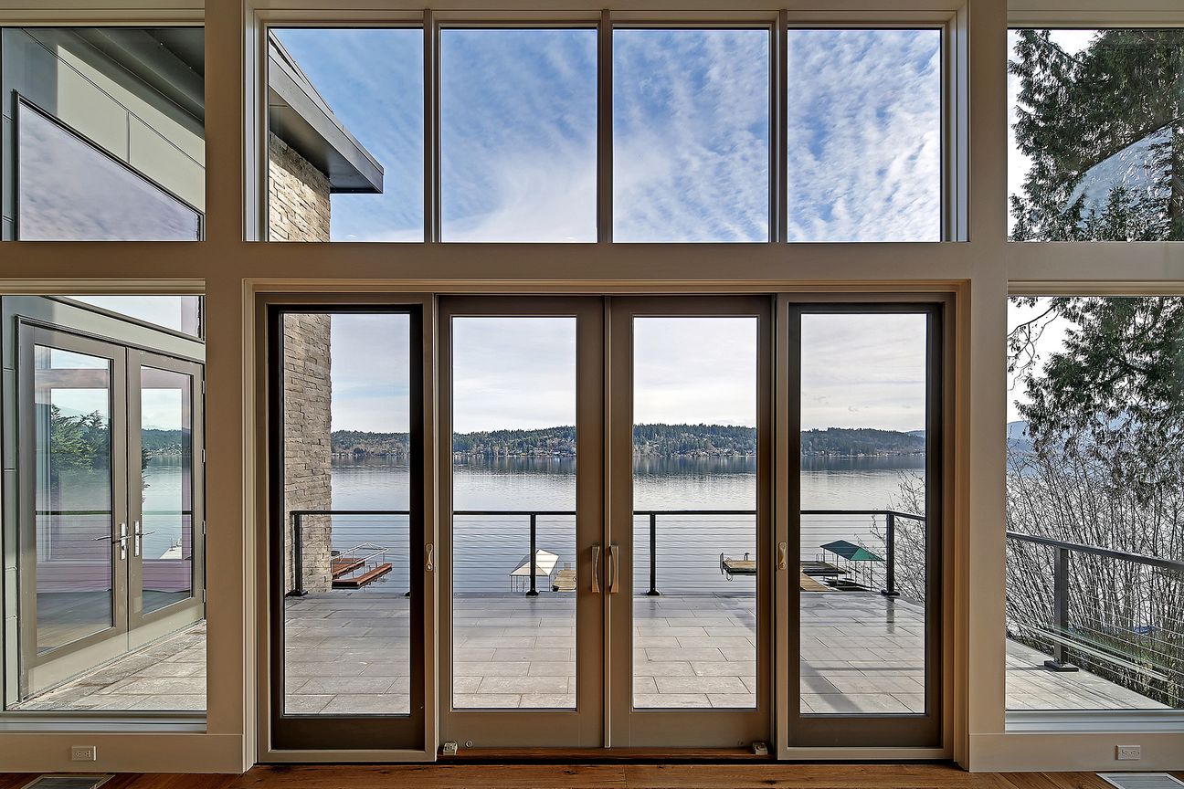
The Lake Washington shoreline
The city’s Shoreline Master Program covers Lake Washington, and jurisdiction runs 200 feet landward of the ordinary high water mark. These rules are from the program adopted May 23, 2013 (Ordinance 1042). The city’s 2019 periodic review page shows no approval date, so I could not confirm what changed; the June 2019 draft has the same numbers. Confirm with the city.
- Permit. An owner’s own single-family house in the Shoreline Residential environment needs no substantial development permit but must meet the program (SMP 7.11). The fee schedule lists $500 for a shoreline exemption and $3,500 for a permit or variance. See my shoreline exemption guide.
- Setback. 50 feet from the ordinary high water mark on lots at least 100 feet deep, 40 feet on shallower lots. Height is 30 feet.
- Hard surface in the setback. No more than 200 square feet, reaching no more than 10 feet in. Accessory structures over 150 square feet are barred there, and accessory height is capped at 12 feet.
- Reducing the setback. To 25 feet where buildable depth (water to the front yard line) exceeds 100 feet, otherwise 20. The full reduction needs at least one water related action. Removing 75 percent of a bulkhead earns 20 feet on a deeper lot; a pervious driveway earns 5. On Lot B, 50 to 25 is 20 + 5. You record a notice on title and a vegetation plan; anything further takes a variance.
- Trees and planting. A tree of 24 inches or more in the setback comes out only as a hazard or nuisance on a tree professional’s report, and a conifer is replaced by two native conifers. With development, healthy windfirm significant trees there are kept. You plant native vegetation, as needed, in at least 75 percent of the nearshore area, 15 feet deep on average.
- Existing house inside the setback. It may be maintained, repaired and enlarged if the work does not extend further into the barred area, and footprint added outside the setback is allowed (SMP 3.9, 7.11). After a fire or natural disaster you may rebuild the same or a smaller configuration if you apply within six months and finish within two years of permit issuance.
Remodel, rebuild or tear down
The zoning test is LFPMC 18.66.050, in the city’s printed text of 20 November 2018. Ordinance 25-1310 did not amend it; I could not read later changes, so ask planning for the current wording. A house nonconforming only by yard, height, area or open space may be enlarged if the enlargement conforms. If alterations, repairs, enlargements and additions over any three year period have a value over 50 percent of the building’s fair market value, set by assessed valuation or an appraisal before the work, the entire building must be renovated to meet applicable building codes, and the section names setbacks among them. This applies to a house that is already nonconforming. A building valued at $1,200,000 has a line at $600,000, and $750,000 of work crosses it. Ask planning how it values both.
ADUs and a second unit
The city allows up to two accessory dwelling units on a lot with a single-family house, each up to 1,000 square feet, and none on a lot with a two-unit middle housing building. An ADU meets the zone’s coverage, setback and canopy standards, needs a parking space unless within half a mile of a major transit stop, may be 25 feet tall if detached, and sits 15 feet from the rear line (Help Topic 2.5, revised February 2026).
The permit: who reviews, how long, what it costs
Everything is filed online through the city’s permit portal. Community Development reviews building permits and, separately, planning items: zoning, trees, critical areas and shoreline. The city says every building permit, whatever its size or scope, has a typical review time of 8 weeks. Mechanical, plumbing and most side sewer permits issue over the counter. I found no published time for critical area or shoreline review. A pre-application meeting with planning costs $100 an hour, half hour minimum. My design to permit submission typically takes 2 to 4 months, so the city’s 8 weeks comes after it.
The 2026 fee schedule (Resolution 25-2047) sets fees by valuation. It prices a standard home at $170.80 and a custom home at $206.65 per square foot, so the city may set valuation from floor area, not your budget; ask which it uses. At a $750,000 valuation the building lines come to this:
| Line | Where it comes from | Arithmetic at $750,000 |
|---|---|---|
| Building permit | Valuation table, $500,001 to $1,000,000 | $5,569.40 + 250 x $8.78 = $7,764.40 |
| Plan review | 65% of the building permit | 0.65 x $7,764.40 = $5,046.86 |
| Subtotal | The two lines above | $12,811.26 |
| Technology surcharge | 10% of the permit fees | $776.44 on the permit line; $1,281.13 if it also covers plan review |
| Drainage plan review | Single-family building permit | $300, or $600 with an engineering plan |
Source: 2026 User Fee Schedule, Building Fees and Building Valuation Table. The schedule applies the 10 percent surcharge to building, mechanical and plumbing permit fees and the city permit page says all permit fees; neither names plan review, so both are shown. Subtotal $12,811.26 becomes $13,587.70 or $14,092.39 with the surcharge. Card payments add 3 percent; state surcharge $6.50. Mechanical and plumbing permits are extra, $150 base each plus $30 per item. Critical Area Work Permit $85 (minor) or $550 (major).
Washington’s architect licensing law does not require an architect for a house of up to four units (RCW 18.08.410(5)), but a lot with a slope, a stream or a stand of firs rewards doing the survey, geotechnical work and arborist report first. Piper Cole designs the project and administers construction; it does not build. I have been an architect since 1996, an AIA member since 1992 and an NCARB member since 1996.
Before you design
Find out what your Lake Forest Park lot will carry
Send me the address and what you have in mind. The first feasibility check is free and takes about a day. I will tell you which of these rules is likely to decide the project. An in-depth analysis is $1,500 and takes 2 to 3 weeks.
Questions
What are the zoning districts in Lake Forest Park?
Where is the Lake Forest Park zoning map?
How tall can a house be in Lake Forest Park, and how is height measured?
What are the setbacks in Lake Forest Park?
How much of my lot can I cover with the house?
Do I need a permit to remove a tree in Lake Forest Park?
How far must a house be from Lake Washington?
How long does a Lake Forest Park building permit take?
Can I build an ADU or a duplex on my Lake Forest Park lot?
Authoritative sources
Regulatory requirements referenced in this guide are set by the official agencies below. Rules change, always confirm current requirements with the source: